Project Detail
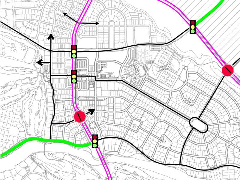
TRACE provided master planning for this 8,800 acre development in Buckeye, Arizona. Our services included an in-depth evaluation of all projected land uses and the proposed road network. For analysis purposes, the project was divided into small planning units. Next, the roadway network that supports external traffic and traffic circulation between these planning units was analyzed. Intersection level of service analysis for each intersection was then completed. Based on this analysis, street sizing, access planning, transit accommodation, and bike routes were developed. TRACE performs annual updates to this master planning document in order to keep it current with ongoing planning and development efforts.
Location: City of Buckeye, AZ
Owner: Confidential

